
Clay County ZIP Coverage
Thirteen postal codes touch Clay County on the county's April 2026 reference map. Five form the main core around Fleming Island, Green Cove Springs, Orange Park, and Middleburg. The rest reach county edges or represent a small postal identity. A ZIP code directory must keep those differences visible because an address labeled Jacksonville, Starke, Lawtey, Melrose, Florahome, or Palatka may still fall within Clay County.
| ZIP Code | Areas Covered | Post Office | Notes |
|---|---|---|---|
| 32003 | Fleming Island, Doctors Lake and St. Johns area | Fleming Island | Fleming Island is not incorporated |
| 32043 | Green Cove Springs, central and southeast riverfront | 500 Palmer Street | Also surrounds Penney Farms |
| 32065 | OakLeaf and northwest suburbs | 225 College Drive | Most lies outside Orange Park town |
| 32068 | Middleburg, Lake Asbury and western county | 2073 Palmetto Street | Broad rural area |
| 32073 | Orange Park, Lakeside and Doctors Lake | Orange Park | Mailing name extends beyond town |
| 32079 | Penney Farms | Penney Farms | Postal identity nested in 32043 map area |
| 32656 | Keystone Heights and southwest lakes | Keystone Heights | Crosses the county edge |
| 32666, 32091, 32058 | Melrose, Starke and Lawtey fringes | Outside postal cities | Small Clay County portions |
| 32234, 32140, 32177 | Northwest, southwest and southeast fringes | Jacksonville, Florahome, Palatka | Postal city does not settle county |
The county map is visual guidance, not a legal description. Edge parcels need a second check in ClayView. Adjacent Duval codes shown beyond the line are not counted without address-level proof. No unique institutional ZIP or dated ZIP split was verified, so neither should be assumed.
Clay County Orange Park Mismatch
Orange Park creates the county's clearest postal trap. The Town of Orange Park is much smaller than the area using 32065 and 32073. OakLeaf, Lakeside, and other unincorporated neighborhoods can carry an Orange Park mailing label without sitting in the town. Municipal services, permits, and local records must follow the actual parcel jurisdiction, not the city printed on an envelope.
This is a geographic quirk worth checking early. Compare the official Clay County ZIP map with the municipal-boundary layer. Then use the parcel situs address, which locates the taxable land, and its legal description. The owner's separate mailing address may be elsewhere and does not change the parcel's jurisdiction.
Boundary check. A postal city routes mail; it does not annex land, set municipal limits, or prove which local government holds a record.
Green Cove Springs ZIP Records
ZIP 32043 covers the county seat, nearby central and southeast riverfront areas, and the Penney Farms vicinity. It therefore appears often in Clay County records. Penney Farms also has the 32079 postal identity, which is not shown as a broad standalone polygon on the county sheet. Searchers should test both the postal label and parcel location when a record sits near that nested area.
The Green Cove Springs Main Office at 500 Palmer Street entered a USPS relocation study in March 2026 because its retail space was undersized. Read the USPS relocation notice before relying on that counter location. The proposal concerns postal retail operations, not a change to county boundaries or a proven ZIP realignment.
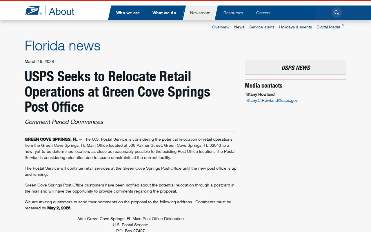
The notice shows why a current post-office address and the delivery area itself must be checked as separate facts.
Clay County ZIP Map Data
Clay County publishes ZIP and municipal-boundary data for map work. The county ZIP GIS metadata page identifies the available layer, while the map-data download area provides shapefiles. A shapefile stores mapped shapes and attributes for geographic software. It can reveal where a postal polygon crosses a town or county line, but it remains a planning aid rather than a deed or survey.
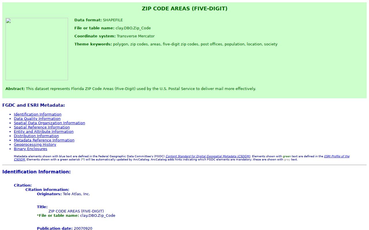
The metadata helps document the source and purpose of the layer. Census ZCTAs are different: they approximate ZIP areas for statistics and should not replace USPS delivery verification.
Find Clay County Residents by ZIP
No verified Property Appraiser ZIP filter was found. ClayView's general geocoder does accept a ZIP to zoom, after which the ZIP and municipal layers can be compared with parcels. The Property Appraiser search itself is documented for owner name, street name, or parcel number. That distinction prevents a map zoom from being mistaken for a complete list of people.
- Verify the full mailing address with the official USPS tool. Record the five-digit code and ZIP+4 if supplied.
- Enter the ZIP in ClayView's address-or-place geocoder. Turn on ZIP and municipal layers, then zoom to the parcel area.
- Use a street name or parcel number in the Property Appraiser search. Compare situs, owner mailing address, and mapped county location.
- For lawful voter data research, send a narrow data request that states the needed geography and excludes protected records.
Once the ZIP code narrows the area, the Clay County street directory explains how to move to a named road and its address-keyed records. That handoff is more reliable than treating one postal area as a resident roll.
Verify a Clay County ZIP
The USPS ZIP Code Lookup is the authority for delivery coding by address. Use it before county searching when an old letter, directory entry, or copied address may contain a stale mailing city. Postal verification does not say whether the site is incorporated, but it gives the proper mail form to carry into the GIS check.
| Lookup input | Use | What to record |
|---|---|---|
| Street address | Exact delivery match | Standardized street and number |
| City and state | Postal context | Accepted mailing city |
| ZIP output | Delivery area | Five digits and ZIP+4 |
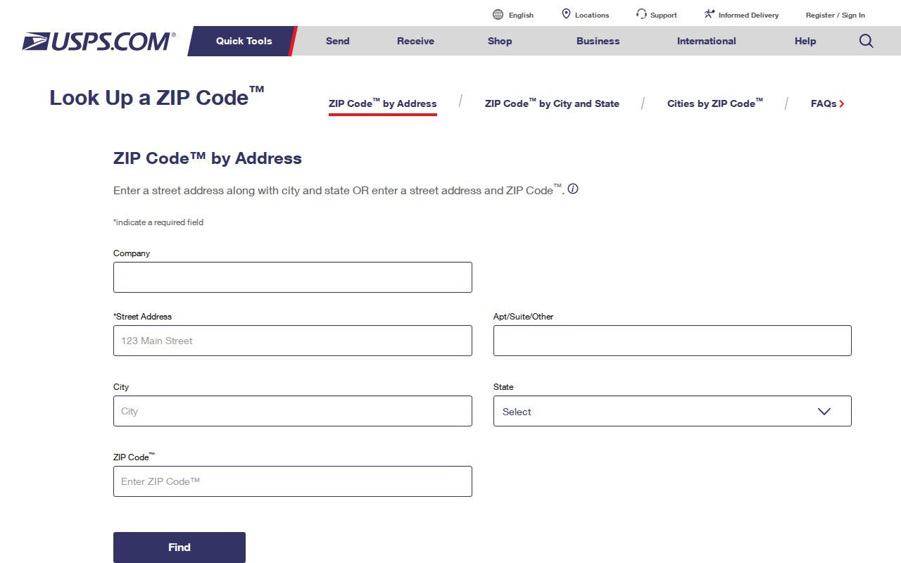
The captured form illustrates an address-first check. Follow it with county map and parcel evidence because USPS does not decide municipal jurisdiction.
Clay County Edge ZIP Codes
Keystone Heights 32656 reaches the southwest county edge and covers lakes and Gold Head areas beyond the city itself. Melrose 32666 touches only a small southwest fringe. On the northwest, Starke 32091 and Lawtey 32058 reach Camp Blanding or Kingsley Lake edges. Those names chiefly identify postal communities outside Clay County, so the county map and parcel situs decide the local-record path.
The same caution applies south and north. Florahome 32140 and Palatka 32177 have narrow Clay overlaps, while Jacksonville 32234 reaches the northwestern fringe. Fleming Island 32003 is wholly familiar as a Clay label, yet Fleming Island has no incorporated city government. The ZIP code directory groups mail areas; it cannot substitute for a municipality list.
Clay County has four municipalities: Green Cove Springs, Keystone Heights, Orange Park, and Penney Farms. Fleming Island, Middleburg, OakLeaf, and Lake Asbury are unincorporated. That simple list resolves many office-routing errors.
Clay County ZIPs Versus Limits
A ZIP code follows delivery geography. A city limit follows incorporation and annexation. A county line controls which county office keeps a deed, parcel, court, or permit record. Since those three outlines can differ, record research should move from USPS deliverability to the county ZIP map, then to municipal layers and the parcel's situs and legal description.
- ZIP and ZIP+4
- The five-digit code marks a delivery area. Four added digits narrow delivery to a smaller segment.
- PO-box ZIP
- A code used chiefly or only for post-office boxes, not a broad street-delivery polygon.
- Unique ZIP
- A code assigned to one high-volume organization. None was verified for Clay County.
- Carrier route
- The path or group of addresses served by one postal carrier within a ZIP.
Historic place names add another layer. Keystone Heights was Brooklyn until 1921. Middleburg appeared as Clark's Ferry, Garey's Ferry, Fort Heileman, Whitesville, or Webster in older sources, while Green Cove Springs was White Sulphur Springs until 1866. Legal descriptions often survive those name shifts better than postal labels.