
Clay County Neighbor Sources
The best block view combines mapped parcels with public records that serve different roles. GIS outlines the lots. Assessment cards tie each parcel to an assessed owner and mailing address. Plats and declarations show subdivision structure. Public voter data may show some registered people, but excludes protected information. Civic committees identify public area representatives, not every resident.
| Source | What It Shows About a Block | Access |
|---|---|---|
| ClayView GIS Identify | Parcel shape, PIN, roads, nearby mapped context | Free browser map |
| Property assessment cards | Assessed owner, mailing and situs addresses, property facts | Free portal; not an occupant roll |
| Recorded plats and declarations | Lots, blocks, easements and association framework | Landmark and map library |
| Voter file | Lawfully public voter fields by area | Request route; protected records excluded |
| Citizen advisory committees | Appointed area representatives and meeting geography | County boards pages |
| Cross-reference directories | Listed past occupants by address | Orange Park Library reference shelf |
A situs address locates the taxable parcel. An owner mailing address is where notices go and can be elsewhere. Matching addresses plus a homestead indicator can support an owner-occupancy inference, but it does not identify each household member. Keep the words owner, voter, and resident distinct in notes.
Dates matter too. Assessment rolls, recorded instruments, election files, and civic appointments update on different schedules. Record the access date beside each finding. A parcel sale or committee change can make an otherwise accurate block list stale within a short time.
Clay County Neighbor Map Tools
ClayView offers Find, Identify, Layers, Draw, Measurement, Export Map, basemaps, and Street View controls. Its Find panel accepts parcel information, address, or name queries, with text for a PIN, parcel number, owner, or street name. Clear the exact-match box for broader street browsing. No dedicated parcel-buffer report was visible, so adjacent lots must be identified one by one.
The captured GIS view shows the right starting surface for a block. Parcel outlines are reference geometry and are not a legal survey.
- Parcel
- A mapped unit of land with its own identifier.
- Situs address
- The physical location assigned to taxable real estate.
- PIN
- The parcel identification number used to connect map and property records.
- Plat
- A recorded map that divides land into lots, blocks, roads, or easements.
Map a Clay County Block
The adjacent-parcel method creates a narrow, auditable neighbor lookup. Search one exact address, zoom until parcel outlines are clear, and use Identify on each polygon that touches or faces the subject. Save the PIN and legal description before opening assessment details. A drawn circle or polygon can mark the study area, but it does not automatically return every owner inside it.
- Enter the known address in ClayView and confirm the selected parcel against its PIN.
- Click each adjoining and facing parcel with Identify. Record the PIN, not just the displayed street number.
- Open the Property Appraiser card and compare the assessed owner, mailing address, situs, and exemption evidence.
- Check plats or declarations in Landmark when lot lines, access, or association identity matters.
- Export a dated map with a legend, then label owners as owners rather than presumed residents.
This block method stays close to one address. The Clay County street directory handles a full named road and its longer address-record chain.
Clay County Neighbors and Voters
The individual Clay voter-status tool is authenticated self-service, not a street browser. It asks for first name, last name, and date of birth. For a lawful geographic research need, use the Supervisor of Elections public-data request and specify the needed fields, block or ZIP geography, time span, file format, and exclusion of protected data.
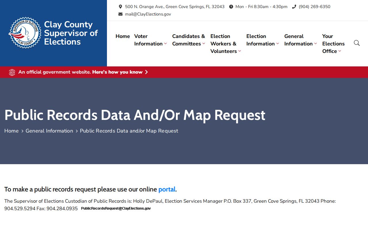
The request route makes the scope and custodian clear. Florida generally treats name, residence, date of birth, party, phone, email, and participation history as public, subject to statutory limits. Social Security and driver-license numbers, registration source, specified restoration material, preregistered minors, and protected voters remain confidential. Participation history never reveals ballot choices.
Clay County Community Contacts
Clay County does not publish a complete private HOA or member directory. Public civic routes still help identify area representatives, meeting topics, and neighborhood boundaries without treating a roster as a resident roll. Active county committees include Lake Asbury/Penney Farms, Middleburg/Clay Hill, OakLeaf Branan-Ridge, and Springs. Gateway and Keystone Heights were listed inactive in the research.
Middleburg and Clay Hill
Five to eleven appointed residents serve staggered terms. County contact: Eileen Flynn, 904-541-5281.
Penney Farms Area
The county Community Development and Recreation Committee publishes official contacts, not a household directory.
Keep Clay Beautiful
Adopt-a-road and adopt-a-spot maps show group names. Contact 904-529-4148 or volunteer@claycountygov.com.
The Historical Archives civic-groups collection adds context for the Village Improvement Association, Orange Park Woman's Club, Camp Chowenwaw, and the Civilian Conservation Corps.
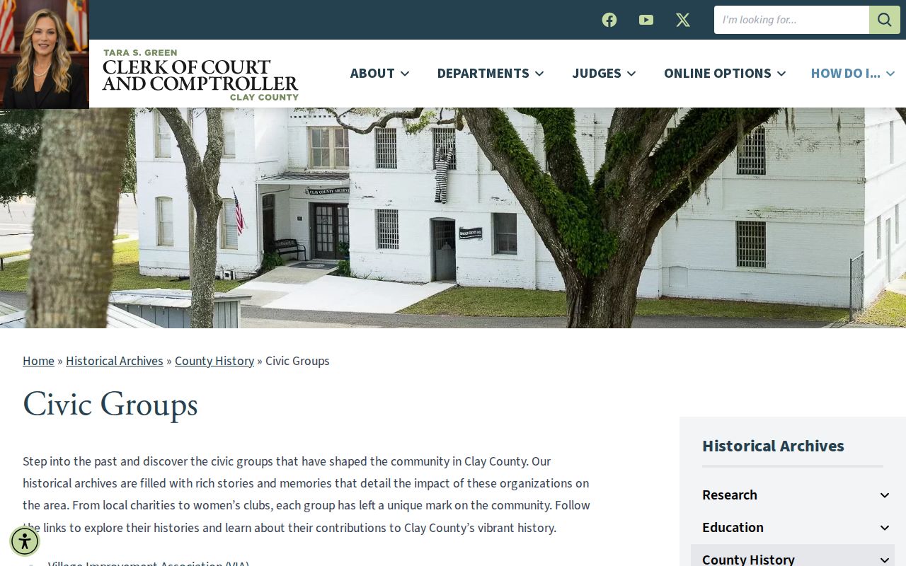
These records can explain who led community work in an earlier era. They do not establish current residence or association membership.
Clay County Neighbor Tool Differences
Official records expose their keeper and purpose. Commercial neighbor tools often merge old addresses and copied public data without showing when each fact changed. They can be useful as a hint, but they should not outrank the parcel, recorded instrument, election custodian, or civic body that created the source.
| Source type | Best use | Main limit |
|---|---|---|
| Official parcel and GIS records | Mapped owner and parcel context | Ownership is not occupancy |
| Official voter data | Fields lawfully released by the custodian | Protected people and data are excluded |
| Public civic contacts | Area meetings and representatives | Not a private member list |
| Commercial compilations | Unverified lead only | May be stale, merged, or wrong |
Correct an error at the agency that owns the record. Removing a commercial copy does not erase a lawful deed or assessment entry.
Past Clay County Neighbors
For an older block, Orange Park Library's cross-reference directory collection sorts listed occupants by address. The catalog reports 37 copies, though individual years require shelf inspection. Historic maps and tax books can then place lots and owners around that directory snapshot. The collection is especially useful for Green Cove Springs, Middleburg, Orange Park, and Penney Farms because a September 1976 Greater Jacksonville cross-reference directory covered all four.
Directory silence proves little. A household might be omitted, outside the publication boundary, unlisted, or present under an older place name. Pair the entry with a deed, census schedule, newspaper item, or tax book before describing past Clay County neighbors.
Green Cove Springs, Middleburg, Orange Park, and Penney Farms also changed at different rates. County maps, old plats, and place-name history help keep a block in the right community and era when a modern mailing label does not match the older source.
Clay County Neighbor Privacy Limits
Parcel records do not list renters, children, or all members of a household. Utility, delivery, and driver records are not open block directories. Florida's Address Confidentiality Program protects eligible victims of domestic violence and stalking, while section 119.071 contains further address exemptions for designated people. Protected voter records are omitted from public data.
Blank or different addresses can therefore be lawful and accurate. Do not fill them with guesses. Florida statutes also penalize stalking, cyberstalking, harassment, and certain misuse of identification or public-record information. Use block research for civic interest, direct neighbor contact, family history, or personal safety awareness.
Lawful use. Clay County neighbor records support civic and personal research. Never use them to watch, threaten, harass, or harm another person.