
Walk a Clay County Street
A Clay County street directory search starts with the address as written today. The Property Appraiser can return an assessed owner, mailing address, situs address, parcel number, legal description, land and building facts, sale references, and exemptions. Ownership is not a list of occupants. A matching mailing and situs address, especially with homestead status, can support owner occupancy, but it still does not name every person at the home.
Keep the parcel number and legal description as the search moves. Street text can change, while a subdivision, lot, block, and parcel identity often persist. That link is especially useful at county edges where the postal city may differ from the municipality or county jurisdiction.
- Enter the full address or part of the street name in the Clay County Property Appraiser search. Open the parcel card and note owner, mailing address, situs, parcel ID, legal description, exemption, and deed reference.
- Use the MAP tab or ClayView to locate the parcel. Zoom out enough to see the whole road, then click or identify nearby parcels one at a time.
- Carry the parcel ID, book and page, owner name, or legal description into Landmark. Confirm the recorded deed rather than relying on a sale label alone.
- Check county or municipal permit systems by address. Treat the applicant and contractor as project contacts, not presumed residents.
- For historical occupants, inspect the Orange Park Library cross-reference shelf by street and house number. For voter data, use the lawful individual lookup or a focused Elections data request.
This chain makes the street directory an evidence trail. It does not turn a parcel map into a household roster.
Search Clay Streets by Parcel
The Clay County Property Appraiser search accepts a first name, last name, part of an owner name, street name, or parcel number. The office also publishes monthly ownership, land, and building files, plus improved and vacant sales data. Those downloads can help review a long road with many parcels, but every row still describes property, not all residents.
| Field or control | Input type | How it helps by street |
|---|---|---|
| Owner name | Full or partial text | Find parcels tied to an owner spelling |
| Street name | Full or partial text | Return properties on a road |
| Parcel number | PIN | Open one exact property |
| MAP tab | Result control | Move from the card to mapped geography |
Check both mailing and situs fields. Situs identifies the taxable location. Mailing identifies the destination for tax notices and may be elsewhere. A corporate or out-of-county mailing address can be perfectly valid.
Map Clay County Street Parcels
The ClayView map offers three Find query choices: Parcel Information, Address, and Name. Its search box accepts a PIN, parcel number, owner, or street name. Clear the exact-match box for broader street browsing. A second geocoder can locate an address, place, ZIP, or county.
After finding the subject parcel, use Identify on the mapped polygon. Layers can add roads, zoning, future land use, districts, and other county geography. Drawing tools mark a point, line, circle, or polygon. Measurement tools calculate area, distance, or coordinates. Export can preserve the current extent or scale and include a legend. The map is a research aid, not a legal survey.
The official ClayView parcel screen shows the county's address and parcel tools.
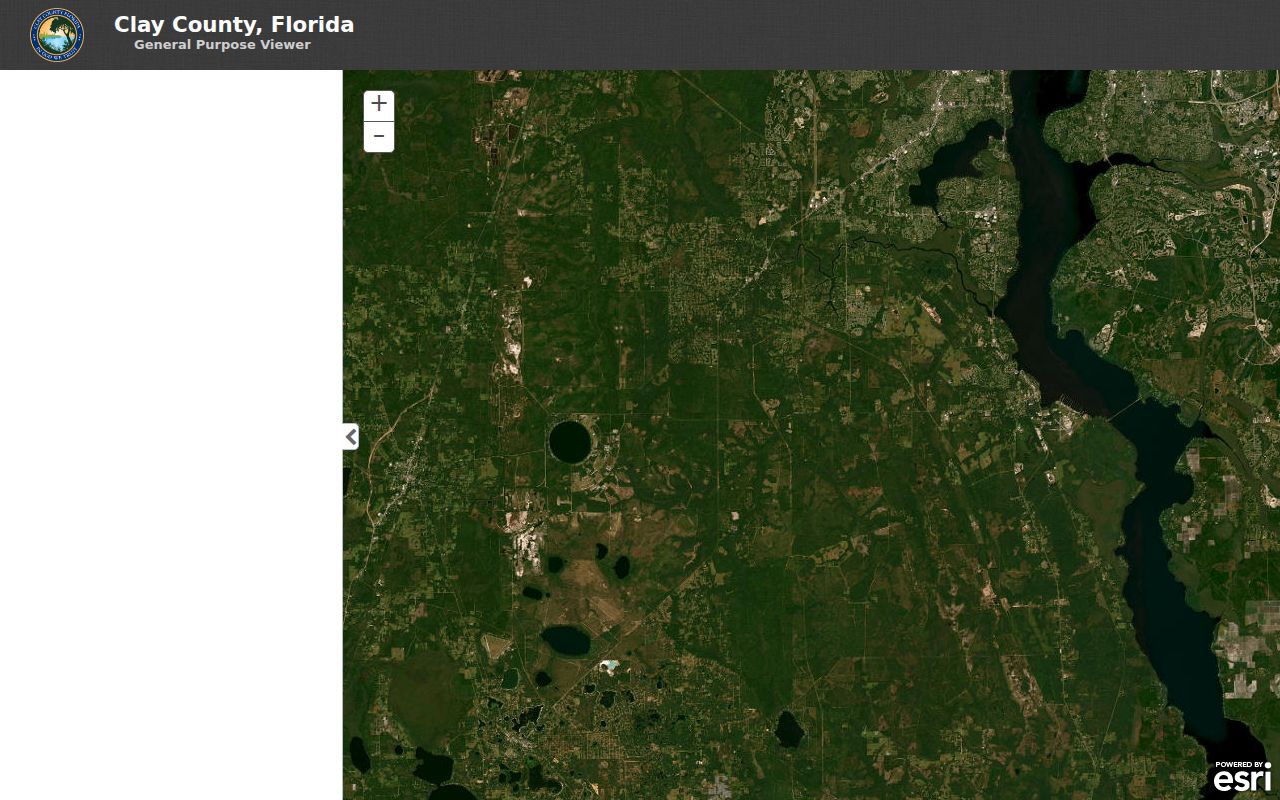
Note: ClayView boundaries and measurements support research, but a recorded plat or survey controls a legal boundary question.
Clay County Street Record Sources
Six public sources can add a distinct layer to a Clay County street directory. Start with the source whose purpose matches the question. Parcel and GIS data explain land and ownership geography. Recorded instruments prove conveyances and liens. Permit files document work. Reverse directories may name listed occupants for one publication year. Election records follow their own access and privacy rules.
| Record Set | Keeper | What It Shows | Access |
|---|---|---|---|
| Assessment roll | Property Appraiser | Owner, mailing and situs addresses, parcel, land, building, sales, exemptions | Free search and monthly files |
| GIS parcel map | Clay County and Property Appraiser | Parcel boundaries, PIN, nearby parcels, zoning, roads, districts | Free viewer; not a survey |
| Official records | Clay County Clerk | Deeds, mortgages, liens, plats, notices, parties, legal descriptions | Landmark, counter, and Archives |
| Permits and code | County or municipality | Project, applicant, parcel, work, inspection or case dates | Archived and current portals |
| Reverse directories | Orange Park Library | Listed occupant by address in a publication year | Noncirculating reference shelf |
| Voter information | Supervisor of Elections | Individual verification or lawful public-file fields | Protected data excluded |
The parcel number ties the roll to the map, permit context, and sometimes the recorded index. Legal description links a lot with deeds and plats when the street address is missing. A reverse directory uses the street name directly, but applies only to its edition. Voter participation data never reveals ballot choices.
Follow Clay Addresses Into Landmark
Deeds often index a person and legal description rather than a modern street address. First collect the parcel ID, subdivision, lot and block, and any deed reference from the assessment card. Then use the Landmark Official Records Search. Its modes include name, document, case number, book and page, consideration, parcel ID, record-date range, Clerk file number, and legal text.
Open the acquisition deed and verify its grantee, grantor, recording date, instrument number, book-page reference, parcel ID, and legal description. Grantor means the party transferring an interest; grantee means the receiving party. Search the grantor as an earlier grantee to move backward. Try spelling variants, as the Clerk recommends. A mortgage, lien, or notice of commencement links a party with property but does not by itself prove residence.
Historic Grantor/Grantee Index books were off-site for digitization when researched, with web publication targeted for spring or summer 2026. No exact completion date was stated. Check the Clerk's status before a visit and use its records liaison or Historical Archives when the online chain ends.
Clay Permit Records by Address
Clay County divides permit and code access at January 9, 2023. Older material uses archived searches. Newer county permits, plans, inspections, code cases, requests, and licenses use EnerGov Citizen Self Service. Search, map, inspection, and notice functions are public without sign-in; an account is needed for applications, payment, and personal tracking.
Planning staff recommends a street number plus the first three letters of the street name when a normal query misses. Green Cove Springs uses a separate SmartGov portal. A demonstrated city permit showed situs, parcel ID, project type, number, creation through closure dates, description, remarks, submittals, fees, inspections, and linked evidence. Each field documents the project at that place. It does not make the applicant, contractor, or project name a resident entry.
For an unavailable county building file, use the Building Division archive route. Supply the address, parcel number, approximate date, and record type. A focused Florida chapter 119 request can also reach the correct custodian when an index fails.
Clay Reverse Street Directories
Orange Park Library reports 37 copies in its noncirculating cross-reference collection, the strongest verified address-first run for Clay County. A September 1976 Greater Jacksonville cross-reference directory covered Green Cove Springs, Middleburg, Orange Park, and Penney Farms. Jacksonville-area Polk editions can also help with northern Clay addresses.
A criss-cross directory arranges entries by street and house number, reversing a surname-first directory. Record the volume's title, edition, geographic scope, and abbreviation key before copying a listing. Catalog records do not expose every year behind the 37 copies, so ask Genealogy/Reference staff to inspect shelf holdings. The department is at Orange Park Library, 2054 Plainfield Avenue, and its genealogy line is 904-278-4753.
Use the historical shelf when a street directory question concerns past occupants rather than today's owner. An omitted address or person is only a gap. Publisher coverage, a move, an unlisted household, or a changed house number may explain the silence.
Clay Street Names Need Context
Postal names and legal jurisdiction do not always match in Clay County. Orange Park mailing addresses extend well beyond the Town of Orange Park. Fleming Island, Middleburg, OakLeaf, and Lake Asbury are unincorporated. A Jacksonville, Starke, Lawtey, Melrose, Florahome, or Palatka mailing label can still touch Clay County. Confirm the mailing address with USPS, then compare the county ZIP map, municipal layer, parcel situs, and legal description.
Historic place names can also break a street search. Keystone Heights was Brooklyn until 1921. Green Cove Springs was White Sulphur Springs until 1866. Whitesville became Webster and was absorbed into Middleburg, which also appeared as Clark's Ferry, Garey's Ferry, and Fort Heileman. When an old directory or deed uses one of those names, search maps and legal descriptions rather than forcing the present label.
- Parcel
- A separately identified piece of real estate.
- Situs address
- The physical location assigned to taxable property.
- Plat
- A recorded map dividing land into lots, blocks, roads, or tracts.
- Criss-cross directory
- An address-first directory arranged by street and house number.
Clay Voter Street Data
The individual Clay voter lookup authenticates a person with first name, last name, and birth date. It reports registration and polling information; it is not a street directory browser. A broader request goes through the Supervisor of Elections public-data process. Specify fields, geography, participation period, file format, and protected-data exclusion.
Florida generally treats a voter's name, residence, birth date, party, phone, email, and participation history as public. Social Security and driver-license numbers, registration source, specified restoration material, and preregistered minors remain confidential. Address Confidentiality Program participants and people covered by statutory address exemptions are excluded. Election history shows participation only, never a ballot choice.
Because the lawful file omits protected records and includes registered voters rather than households, it cannot supply a complete Clay County street directory. Use it only to confirm a narrow, lawful question.
Limits of Clay Street Directory
A parcel card does not identify renters, children, relatives, or every member of a household. Permit applicants may be contractors. A mailing address may belong to an owner who lives elsewhere. Utility, delivery, and motor-vehicle customer data are not exposed through these Clay County address tools. The federal Driver's Privacy Protection Act and Florida exemptions restrict motor-vehicle information, while state confidentiality programs can produce lawful blanks in public records.
Maps have limits too. ClayView is not a survey, and parcel lines should not settle a fence or title dispute. A reverse-directory entry applies to one publication date. A deed proves a recorded property transaction, not the people sleeping at an address. The sound conclusion describes exactly what the source shows.
Lawful use. Clay County address records support lawful personal and historical research. Florida law prohibits stalking, harassment, intimidation, and using public-record information to facilitate an offense.